8th Aug, 2023 10:00
TWO DAY: Military & Collectables Auction


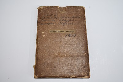

92
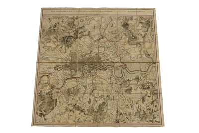
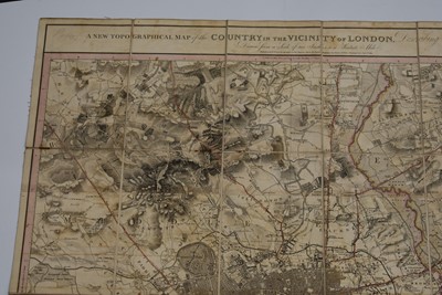
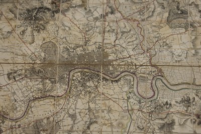
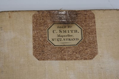
A New Topographical Map of the Country in the Vicinity of London
Sold for £200
Estimated at £300 - £400
Collection
To book a collection or to provide authorisation for your chosen courier/representative to collect your Lots, please email mail@specialauctionservices.com, quoting your invoice number.
Shipping
We can offer in-house packing & shipping for most Lots, if the Lots are too bulky or heavy, we can recommend couriers to you.
Please note we are unable to offer shipping for any bladed items or lighters.
Pack Only
We can also offer a pack only service, and you can arrange your own courier to collect from us.
We can recommend couriers on request

